 H2H Geoscience Engineering is a pioneer in using specialized mobile mapping technologies to collect detailed 3D measurements and images using state-of-the-art aerial, marine-based, underground, and terrestrial survey mapping equipment for clients in a wide-range of industries throughout the United States.
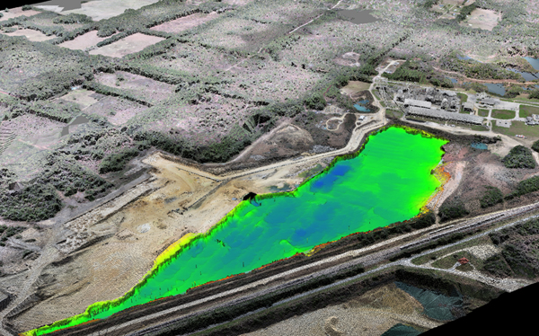
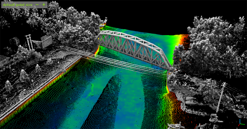
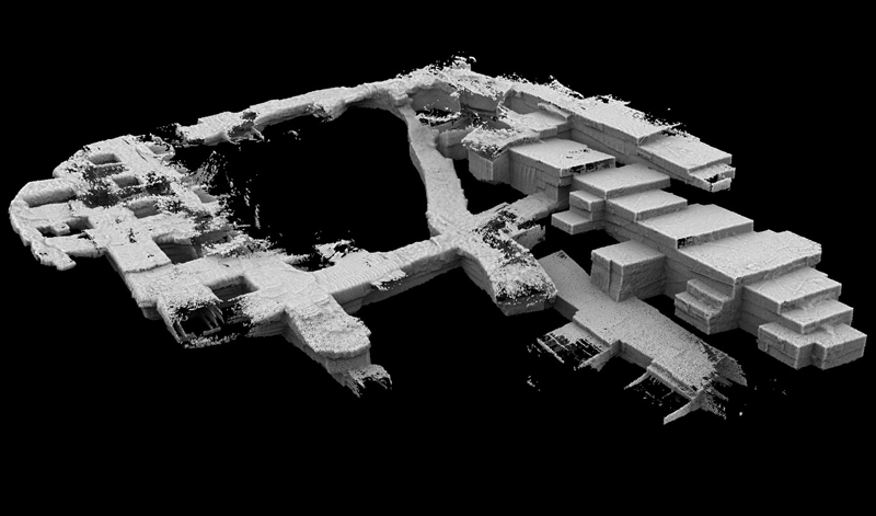
Using advanced global positioning system (GPS), internal measurement unit (IMU), and remote sensor technologies, H2H’s mobile mapping tools collect substantial amounts of data from from a distance quickly, covering several acres within +/- 3 inches of accuracy, while reducing the need for operational shutdown and allowing for quick turnaround of deliverables and results.
Mobile mapping greatly improves project safety by reducing the number of employees performing mapping and surveying to one and decreasing the overall exposure time of the surveyor by at least half while limiting their exposure to dangerous locations including highwalls, stockpiles, tunnel walls and ceilings, and equipment. As mobile mapping collects all possible data at once, the need for repeated survey is eliminated.
Learn more how H2H Geoscience Engineering provides cutting-edge mapping solutions for the following industries:
Example Applications
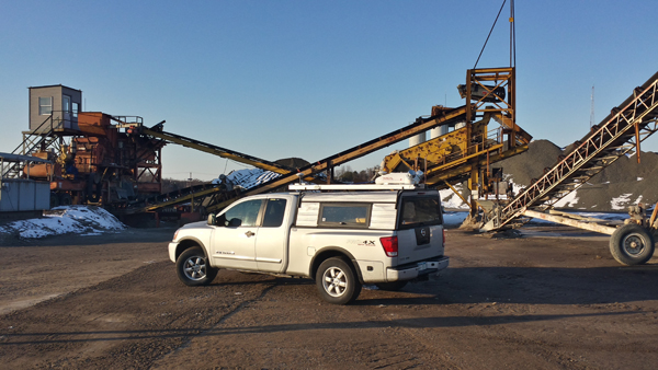
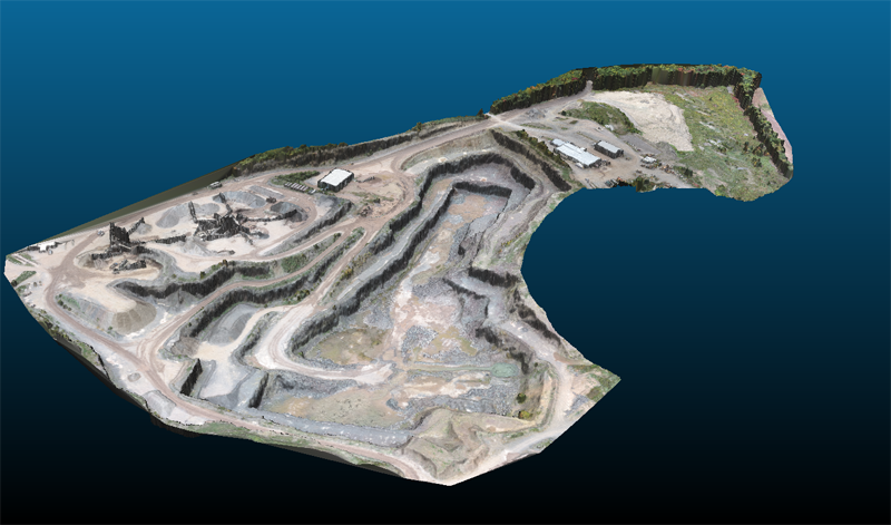
Mining – Above & Underground
Terrestrial & Aerial Mapping
- Stockpile Physical Inventory
- Reserves Mapping
- Quarry Mapping
- Face Updates (DOT Reporting)
- Bench and Highwall Safety Surveys
- Insurance Documentation
- Reclamation Grades
- Confirm Permit Limits
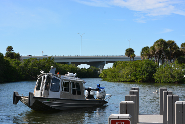
Waterborne
- Verify Stability for Dragline
- Confirm Maximum Ore Removed
- Confirm Reclamation Slopes and Grades
Construction & Land Development
 Terrestrial & Aerial Mapping
- Existing Conditions Definition
- As-Built Mapping
- Design Stakeout
- Field Verification of Completed Projects
- Confirm Excavation Area Limits
- Calculate Material Removed and or Placed Over Time
- Geospatially Referenced Photographs
- Urban Planning
Waterborne
- Bridge Scouring
- Port and Harbor Surveys
- Environmental Assessment
- Flood Plain Mapping
- Coastal erosion
- Real Time QA/QC of Dredging Operations
- Monitor Infill at Confluence
- Spoil Mapping
- Beach Nourishment and Restoration
- High Definition River Channel bathymetry
- Dam / Lock Characterization and Mapping
- Bridge Structural Analysis
- Flood Warning Model
Industrial
Terrestrial & Aerial Mapping
- Secondary Tank Containment Analysis
- Process Flow Mapping